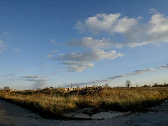
Thirty percent of Detroit proper is now vacant land.
This was the news a few weeks back from The Detroit Free Press, the paper that announced last month that it would reduce daily delivery circulation to just three days a week, and just the latest in a series of indicators that Detroit, with losses in jobs, particularly within the auto industry, increases in crime, and now, acres of vacant land, it suffering mightily.
But the vacant land — 30 percent of Detroit’s 139 square miles — is presenting a whopper of an opportunity for planners there. Dan Pitera, a professor of architecture at University of Detroit Mercy, has put together a map that illustrates how to fit the land mass of Manhattan (23 square miles — and it’s just Manhattan, not all five NYC boroughs), San Francisco (47 square miles) and Boston (48 square miles), and their combined populations of nearly 3 million people, into Detroit.
The Free Press quotes Pitera as saying that the purpose of the map was to convey how underpopulated the city has become.
According the the report:
Detroit, where the population peaked at 2 million in the early 1950s, is home to about 900,000 today and is still losing people. The depopulation and demolition of abandoned properties has left the city dotted with thousands of vacant parcels, ranging from single home lots to open fields of many acres.
Urban farming, urban reforestation, and active and passive recreation areas have all been tossed around as ideas for how to use the available land.


Comments